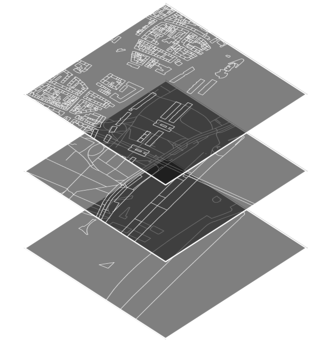
Official geodata:
simple and bundled
We offer reliable data from official sources, OpenStreetMap and valuable analyses for architecture, urban and landscape planning.
3D Terrain
Get detailed 3D terrain representations
with precise topographic data,
ideal for supporting your architectural and urban planning projects.
Isochrones
& Time Zones
Create isochrones and time zones,
to analyze the accessibility of locations.
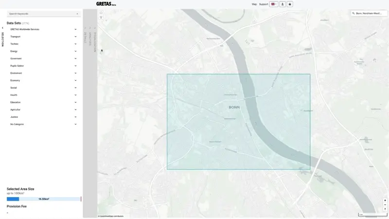
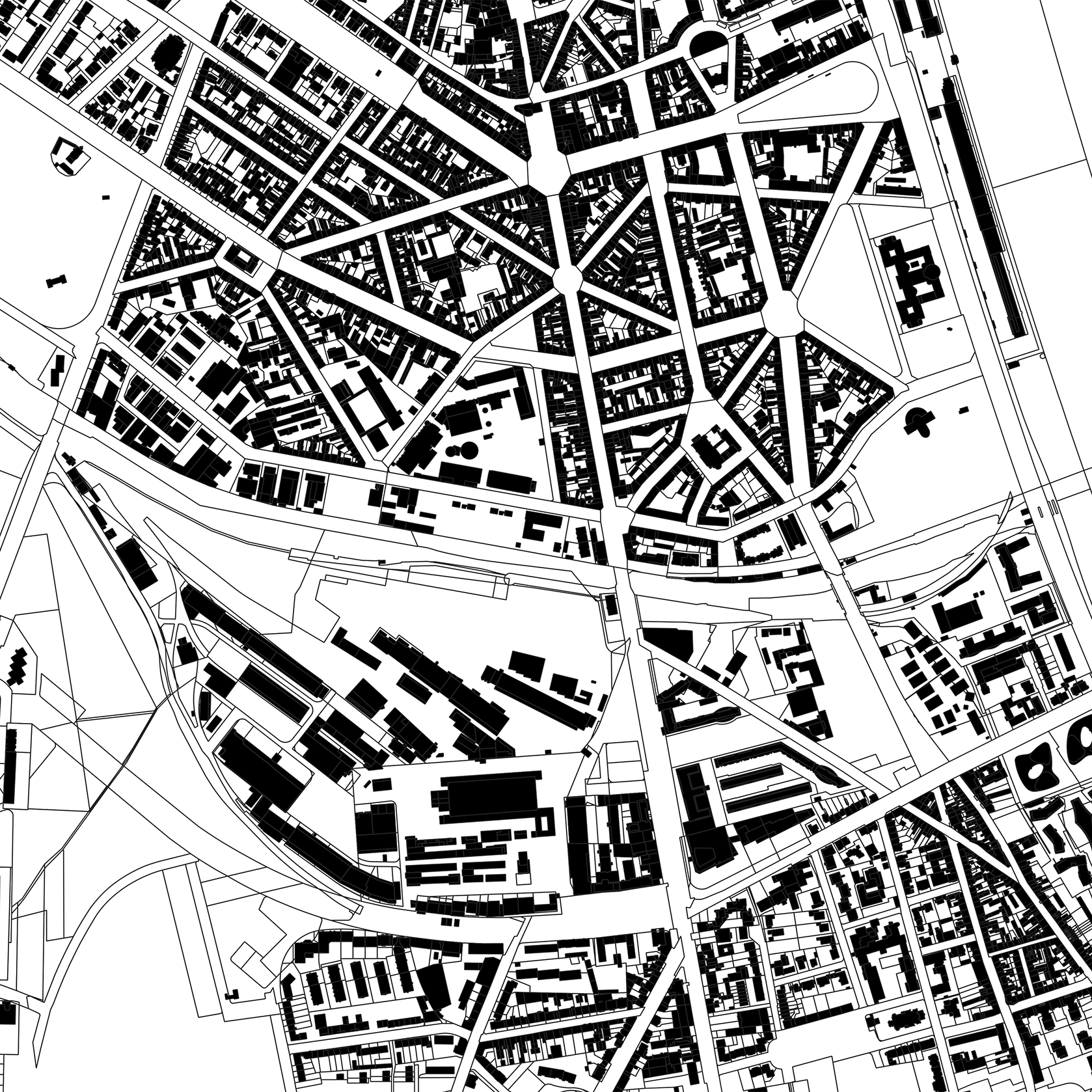
Official Cadastral Data
Europe-wide
Download precisely tailored cadastral and environmental data,
to obtain solid information on cities, regions and properties
for your projects.
Reliable Data
Our maps come with streets, buildings, green areas and bodies of water - all from official sources, OSM and more.
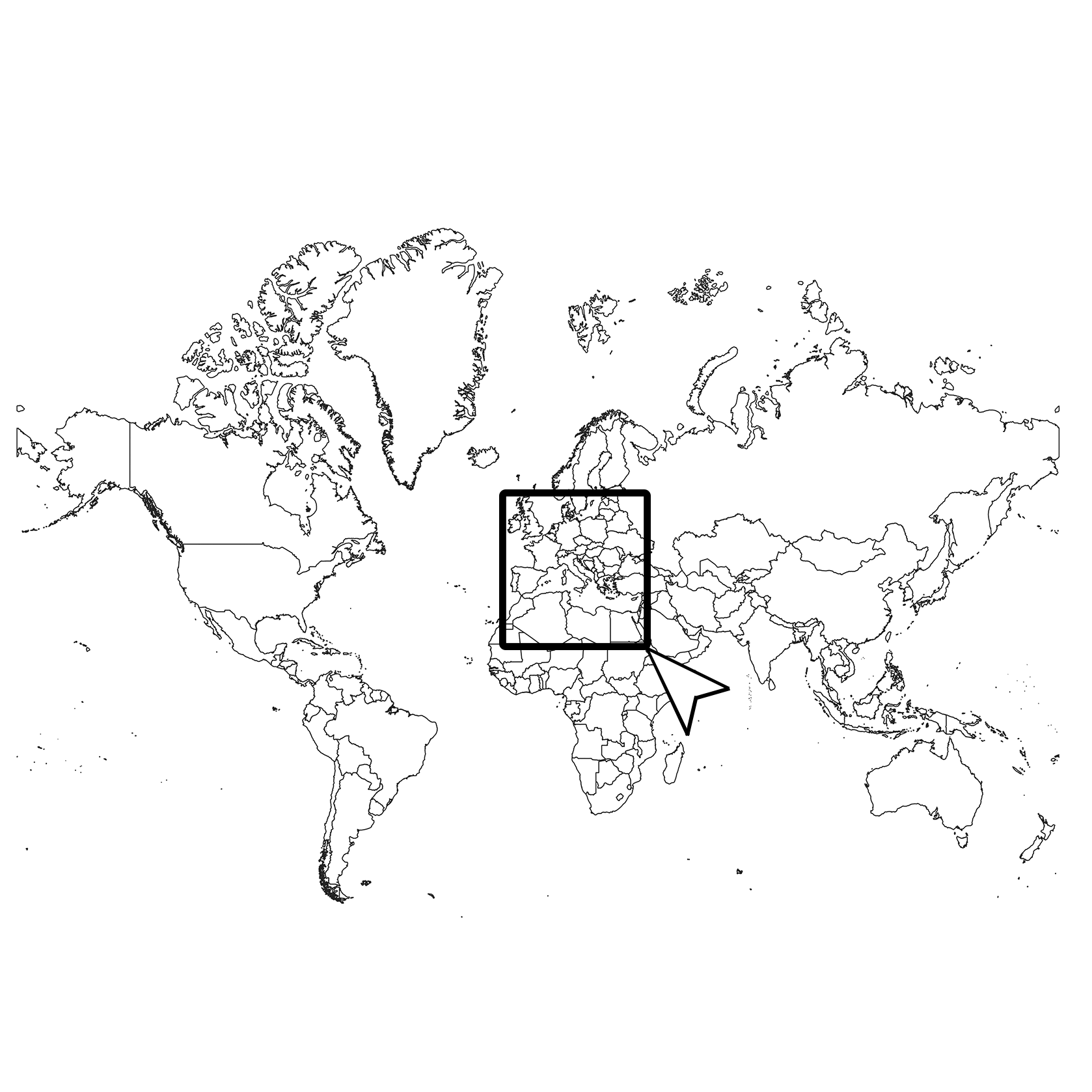
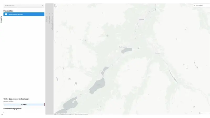
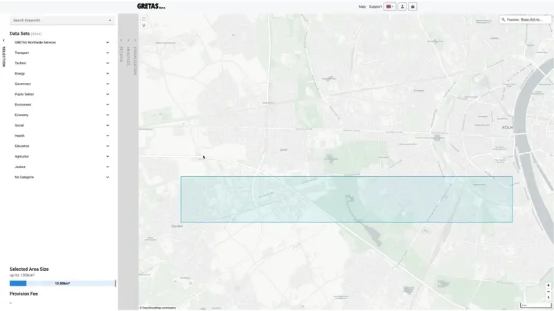
Available all over the World
Select any area you want. Up to 1km² free of charge and over available for a small provision costs.
DXF and JSON
You receive a DXF Vector File in correct projection for use in CAD Software or a JSON File if you work with GIS.
Hexagon Heatmaps
Use precise hexagon heatmaps,
to visualize spatial data patterns and densities,
essential for informed planning decisions.
Quick Map
Quickly design maps and graphics
for your presentations or print layouts.
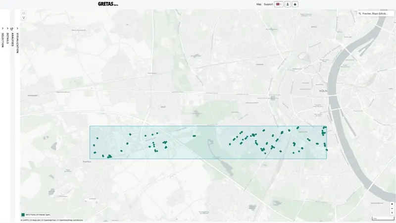
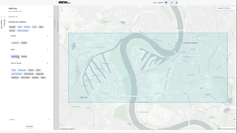
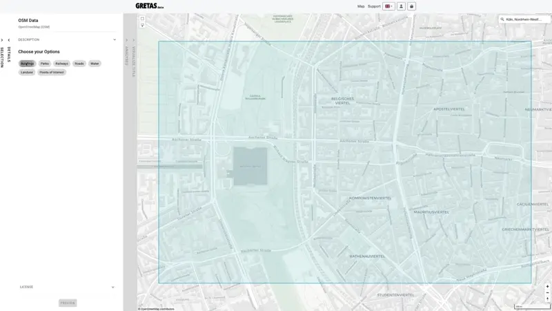
OSM Data
Access OpenStreetMap data worldwide and
download extensive baseline information for your
project.
Plan Comparison
| Service | Free Download | Basic Plan | Premium Plan |
|---|---|---|---|
| Buildings, Streets, Places | ✓ | ✓ | ✓ |
| Spatial Data | ✓ | ✓ | ✓ |
| Contour Lines | ✗ | ✓ | ✓ |
| Background Maps | ✗ | ✓ | ✓ |
| 3D Terrain | ✗ | ✓ | ✓ |
| Spatial Analysis | ✗ | ✓ | ✓ |
| AI Simulations* | ✗* | ✗* | ✓* |
| Extended Spatial Analysis* | ✗* | ✗* | ✓* |
| Import Own Data* | ✗* | ✗* | ✓* |
| ...and much more* | ✗* | ✗* | ✓* |
*Coming soon!
Get started the way you want
FREE DOWNLOAD
- for areas up to 1 km²
- download without registration
PAY PER DOWNLOAD
- for areas up to 100 km²
- buy without registration **provision cost
UNLIMITED DOWNLOADS
- for areas up to 100 km²
- subscription billed montly
- download as many maps as you like
PREMIUM
PLAN
- for areas up to 100 km²
- subscription billed montly
- download as many maps as you like
- Exclusive Premium Features
SPECIAL REQUESTS
- for areas bigger than 100km²
- Contact us and we will produce the file you need.